
Objectives
This pilot focus on two aspects. The first one is the provision or volunteered geographic information (VGI) to report a problems on the public underground infrastructure.
The second is based on the use of mobile clients by municipalities and companies technicians (equipped with innovative visualization features such as Augmented Reality) to support the management and update of existing data on the field.

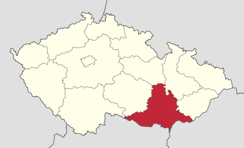

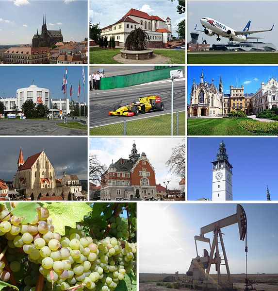
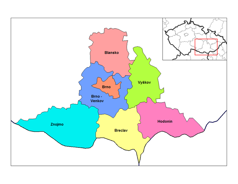
South Moravian Region
South Moravian RegionCZech Republic
48° 57′ 16.0308″, 16° 46′ 3.684″
Scenario
Underground