Genova
Integrated management of the utility networks and use of mobile client supporting field works

The Pilot in Genova is organized around two main use cases dealing with underground data management.
The Pilot has as experimental nature and uses sample data but it is closely monitored by the Genova Municipality and the Genova Utilities authority in the interest of a real use of the results in a future operational environment.
The main functionality of the pilot is to offer to municipality officers and utility companies a viewer solution, both web-based and mobile, to support them on the management of the network and in field work operations.
The central use case (“underground cadastre”) deals with the integrated management of the utility networks and within this case the main objective is the visualisation of datasets of different networks (harmonised to the common GeoSmartCity Underground application schema) in a web-based GIS client.
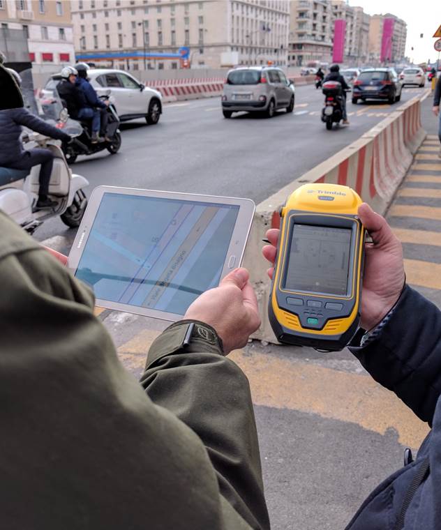
For the field work use case, the project's "Utility Viewer" mobile app is connected to a high precision GNSS receiver and integrated Augmented Reality visualisation of the underground networks.
Another specific pilot objective is the study of the interaction between underground infrastructure and territory (in this case landslide zones and flood prone areas).
The pilot web based client application offers the following functionalities:- Map + basic map controls
- Specific modules from the GeoSmartCity Client Side JavaScript Library API.
- View of the underground networks WMS layers in 2D map.
- View infrastructure using Augmented Reality.
- Get information of infrastructure elements.
- Use external GNSS device for precision user positioning.
- Possibility to verify and edit data on the field thanks to a specialized service.

GeoSmartCity Hub components used
| Data management Metadata management | Data visualisation |
Access the application
Access is currently restricted to project partners, contact us to register.Interested?
Training Material
 Learn more by following this presentation in our eLearning platform.